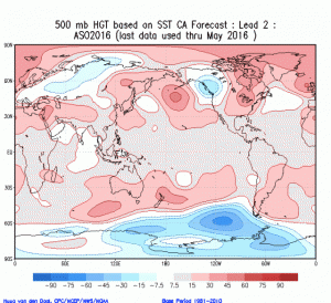
500 MB Height Anomaly Forecast Aug-Oct weatherbell.com
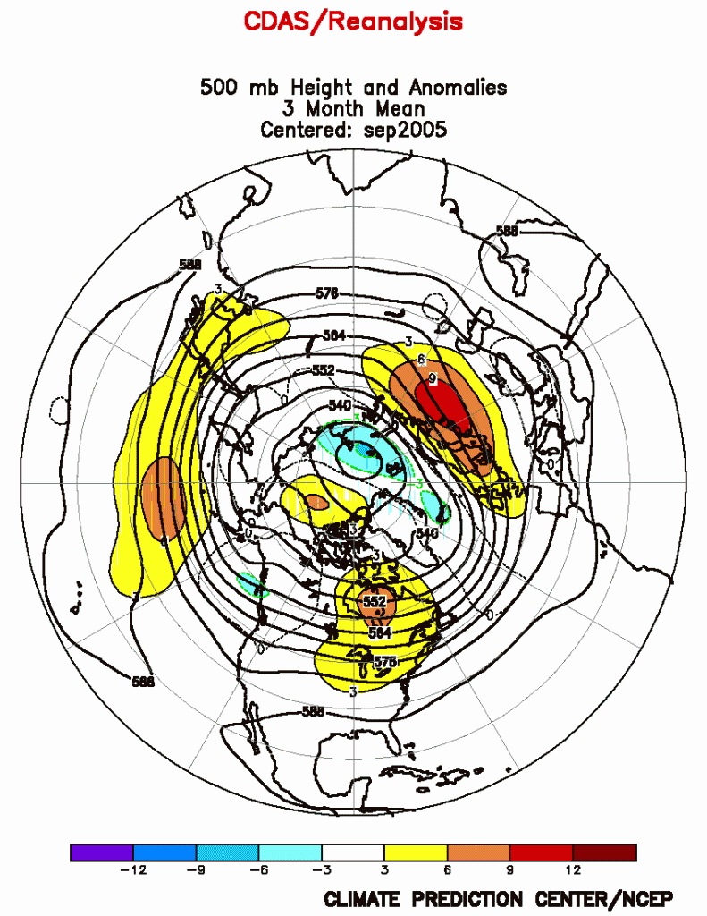
The extended 500 mb height anomalies forecast (via weatherbell.com) suggest strong blocking likely over the northeastern part of North America during the peak of the 2016 hurricane season. This blocking was prevalent during 2005 when we set a record for named tropical cyclones in the North Atlantic including several US landfalling storms. According to Joe Bastardi, Weatherbell meteorologist, regarding this season “SST analog and to some extent many of the other climate models, are pointing at the high impact we have [forecast].”

2005 500 MB Anamaly Aug-Oct via NOAA Climate Prediction Center
Other conditions are not the same so we likely won’t see a large number of storms, however, the blocking ridge may steer whatever storms that develop into the Gulf of Mexico and/or near the US East Coast.
Fred Pickhardt
Ocean Weather Services
