Hurricane Matthew moving across Bahamas then heads towards Florida

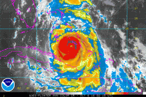
NOAA Satellite Image Hurricane Matthew

NOAA Satellite Image Hurricane Matthew

Hurricane Matthew as of 0300 UTC 6 October 2016 was moving northwestward through the Bahamas. Max winds have weakened a bit to 100 knots, however, satellite imagery indicates that the hurricane is becoming better organized and the central pressure has fallen to 961 mb so some strengthening and a turn towards the N-NW is expected as it approaches the Florida coast.

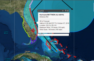
NHC Forecast Track for Hurricane Matthew

NHC Forecast Track for Hurricane Matthew

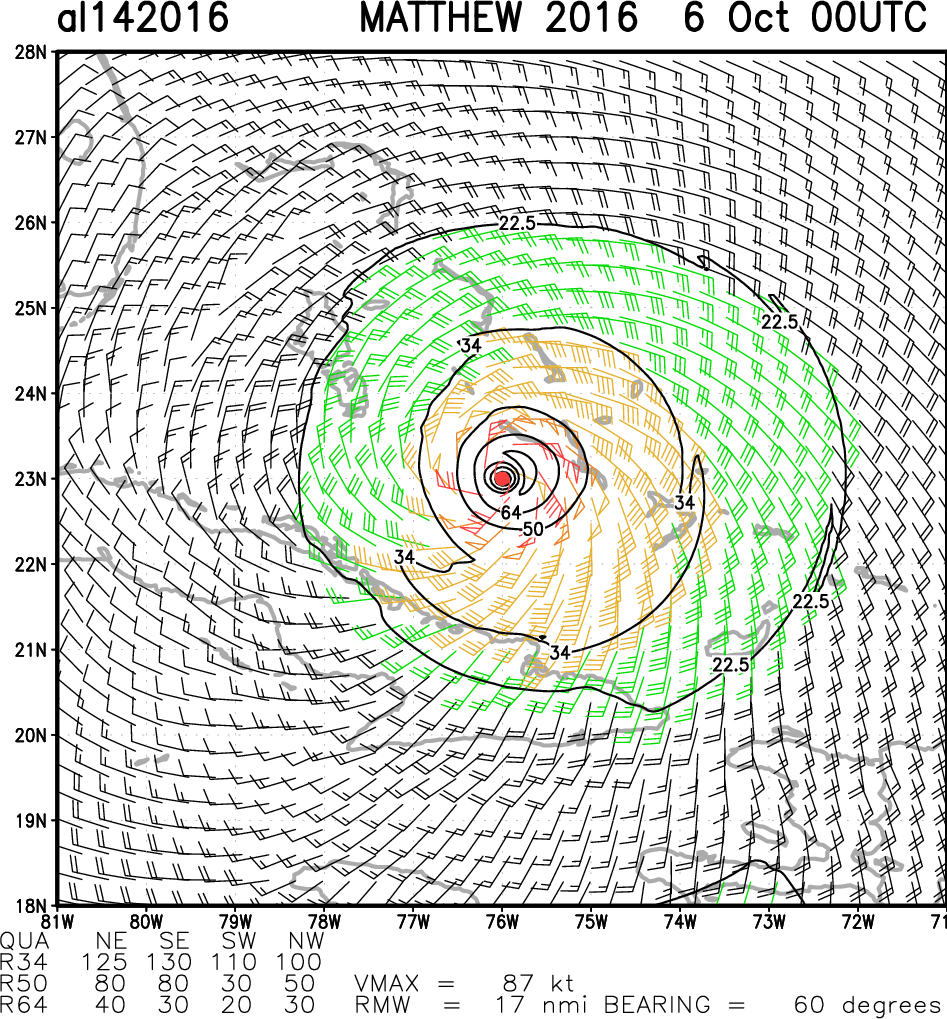
Hurricane force winds extend outward 30 NM south and 40 NM north.  50 knot or higher winds extend outward 40NM south and 50-70 NM to the north.  Gale force winds extend out 60 NM southwest to 150 NM to the northeast.

Matthew is forecast pass near Andros Island and New Providence in about 12 hours, and then very near the eastern coast of the the Florida peninsula. In about 48-72 hours Matthew is expected to turn northeastward. Some models suggest a turn back towards the south or southwest in the longer term.

Hurricane Matthew wind field Oct 6th 0000 UTC

Hurricane Matthew wind field Oct 6th 0000 UTC

About Fred Pickhardt

I am a marine meteorologist and sailed briefly with American Export Lines in the Far East trade after graduating from State University of New York Maritime College. I have extensive experience in weather analysis, weather forecasting, optimum ship routing, vessel performance evaluations and forensic weather event reconstructions. I founded Ocean Weather Services and as Owner and Chief Consultant currently provide optimum ship routing services and forensic marine weather reports to the maritime industry.
This entry was posted in Uncategorized. Bookmark the permalink.

Leave a Reply

Your email address will not be published. Required fields are marked *