Yet another Typhoon threatens Taiwan

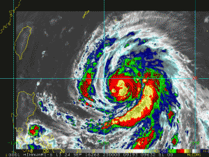
NOAA IR Satellite Image

NOAA IR Satellite Image

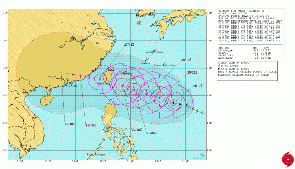
Typhoon Megi over the western North Pacific at 2100 UTC 24 September 2016 was about 544 NM SSE of Kadena,  Okinawa and was moving WNW at about 12 knots with max winds 75 knots and max significant wave height of about 25 feet (7.6 meters).  Hurricane force winds extend outward about 30-40 NM and 50 knot winds extend outward 60 NM to the southwest and up to 120 NM to the northeast.

Megi is forecast to continue on a WNW track and will intensify to about 110 knots max winds as it nears the coast of Taiwan.  The current forecast track has Megi making landfall over southern Taiwan between 0600-1200 UTC on the 27th.

JTWC Forecast Track

JTWC Forecast Track

About Fred Pickhardt

I am a marine meteorologist and sailed briefly with American Export Lines in the Far East trade after graduating from State University of New York Maritime College. I have extensive experience in weather analysis, weather forecasting, optimum ship routing, vessel performance evaluations and forensic weather event reconstructions. I founded Ocean Weather Services and as Owner and Chief Consultant currently provide optimum ship routing services and forensic marine weather reports to the maritime industry.
This entry was posted in Uncategorized and tagged , , , , , . Bookmark the permalink.

Leave a Reply

Your email address will not be published. Required fields are marked *