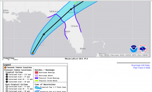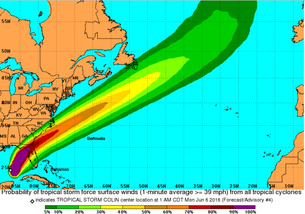
TS Colin Forecast Track (NOAA NHC)
Tropical Storm Colin over the eastern Gulf of Mexico and was moving towards the NNE at 12 knots with max winds of 45 knots (about 50 mph). Gale force or higher winds extend outward 160NM east of the center.
Colin remains poorly organized with most of the wind and rain located east of the center and the center location is uncertain. Colin will make landfall, most likely along the Florida West Coast in the Big Bend area this evening. The major effect of Colin over Florida will be heavy rainfall and the risk for isolated tornadoes.

Risk for encountering tropical storm (gale force) winds.
Post Views:
555
About Fred Pickhardt
I am a marine meteorologist and sailed briefly with American Export Lines in the Far East trade after graduating from State University of New York Maritime College. I have extensive experience in weather analysis, weather forecasting, optimum ship routing, vessel performance evaluations and forensic weather event reconstructions. I founded Ocean Weather Services and as Owner and Chief Consultant currently provide optimum ship routing services and forensic marine weather reports to the maritime industry.


