Hurricane Matthew Update

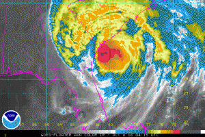
NOAA IR Satellite image of Hurricane Matthew

NOAA IR Satellite image of Hurricane Matthew

Hurricane Matthew at 0300 UTC (11pm EDT) was weakening with max winds now at 90 knots and was moving just east of north at 10 knots.  Hurricane force winds extend outward 35 NM west and 50 NM east while 50 knot or higher winds extend out 50 NM west and 70-80 NM east. Max significant wave height is about 36 feet (about 11 meters).

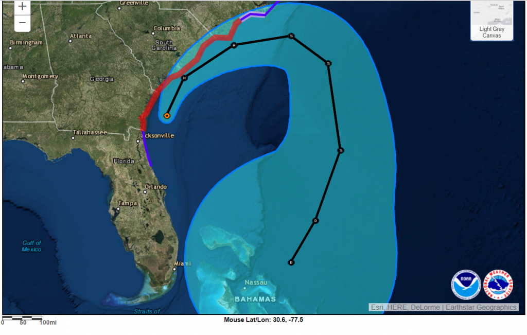
During the next 36 hours, Matthew should turn more northeastward moving near the coasts of Georgia and South Carolina during the next 12-18 hours, then near the North Carolina coast from 18-36 hours.  Matthew is now forecast to weaken to a tropical storm by 36 hours.   After 36 hours the track and intensity forecasts are uncertain.

NHC Forecast Chart

NHC Forecast Chart


About Fred Pickhardt

I am a marine meteorologist and sailed briefly with American Export Lines in the Far East trade after graduating from State University of New York Maritime College. I have extensive experience in weather analysis, weather forecasting, optimum ship routing, vessel performance evaluations and forensic weather event reconstructions. I founded Ocean Weather Services and as Owner and Chief Consultant currently provide optimum ship routing services and forensic marine weather reports to the maritime industry.
This entry was posted in Ocean Storms, Tropical Cyclones and tagged , , , , , . Bookmark the permalink.

Leave a Reply

Your email address will not be published. Required fields are marked *